
Globhe
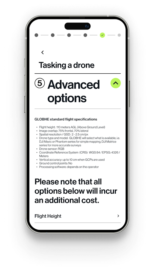
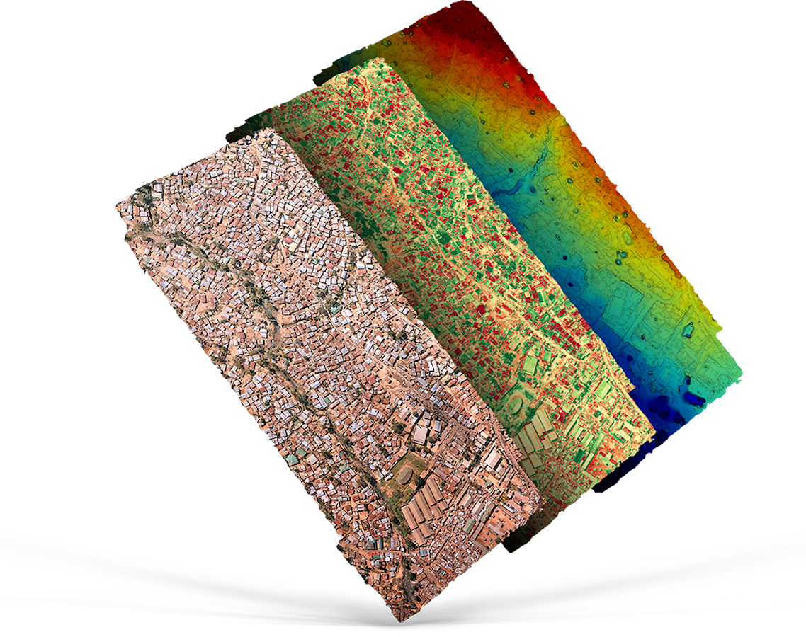
Globhe operates the world's leading crowdsourced drone data marketplace, connecting clients across industries with a global network of certified drone pilots. Our platform enables rapid, scalable drone data collection for agriculture, infrastructure, construction, humanitarian response, and more.
We're at an exciting inflection point: preparing for the V2 launch of our platform, and we need a sharp, ambitious hybrid, part AI developer, part product thinker, who can help us get there fast.
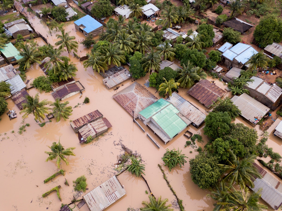
We are a team of innovators, creators, tech geeks, and social impact believers, but above all, we are a team of dreamers and doers. GLOBHE is on a mission to create a better future with drones. Our drones prevent malaria outbreaks, track water pollution, respond to natural disasters, and inspect critical infrastructure around the world.
We are a small core team connected to a global network of drone pilots, redefining what drones can do. We are firm believers that the future of possibilities is already here, and passionate about using innovative technology to show it. We value an impressive CV, but at the end of the day, it is all about the right attitude and passion.
What it's like to work here
Real ownership from day one, you will see your work live in production and know it matters
Direct access to founders and decision-makers, no bureaucracy, no waiting in line
A role that evolves as fast as you do, a strong path from project hire to permanent, senior role
Remote-friendly with a lively culture built on regular personal interaction, we are a global team that actually connects
We do not value the 9-to-5 office attitude, we value creativity, passion, and getting things done
GLOBHE is committed to building an actively inclusive environment that makes our team an excellent home for everyone
By building our platform, you are directly contributing to our mission — and helping people globally. Come help us create a better future with drones.
| Location | Sweden |
| Website | globhe.com |
| Founded | 2016 |
| Employees | 1-10 |
| Industries | SaaS |
| Business model | B2B, Marketplace |
| Funding state | Series A |

Working at
Globhe
This job comes with several perks and benefits

Flexible working hours

Near public transit

Free coffee / tea

Social gatherings

Skill development

Remote work allowed
SDGs


Team
Founder, CEO & Founder
Helena Samsioe
COO